Navigate here 👇
Some people believe that the entire city of Makkah is Haram which is wrong. The boundaries of Haram have been set by Prophet Muhammad ﷺ and various marks have been set up to identify them.
Never pay the full price🏷️; join the 📢Saudi Coupon Codes group and get sales updates and discount codes in one place.
Why is it important?
It is important to know about the boundaries of Haram in Makkah due to several reasons such as;
- Residents of Makkah need to wear Ihram after going out of the boundaries of Haram.
- Pilgrims who come to perform Umrah from all around the world need to wear Ihram from outside this boundary to perform 2nd Umrah.
- In order to pay Damm for a mistake in Hajj and Umrah, the animal needs to be sacrificed within this boundary.
Haram boundary map
The map for the boundaries of Haram in Makkah has been published by the Ministry of Hajj and Umrah in Saudi Arabia. In my opinion, this is the most authentic map as it is directly coming from the government.
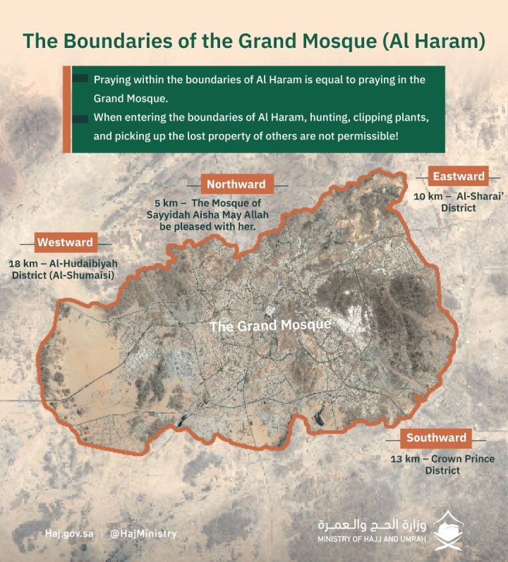
Taneem – Boundary towards Madinah
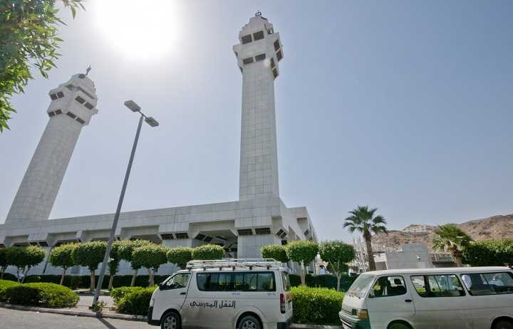
In the direction towards the Madinah, the boundary is 8 km or 3 miles from Makkah by the houses of Banu Nikaar and just before Taneem. Taneem here refers to Masjid Taneem which is generally known as Masjid e Aisha.
As Masjid e Aisha is situated outside the boundaries of Makkah Haram, it is also called the Miqat for people in Makkah. While coming towards Makkah the At-Tan’eem initiates at Buyoot as-Suqya, which are alternatively known as Buyoot Nifaar.
Adaat Laban – Boundary towards Yemen
In the direction towards Yemen, the boundary of the Haram lies 7 miles from Makkah and is located at Adaat Laban which is on the road towards Yemen.
Wadi Nakhla – Boundary towards Iraq
Towards Iraq, the boundary of Haram is at a mountain pass on one side of Jabal al-Muqatta‘. It is 7 miles away from Makkah; however, in the books of the Maalikis it noted as eight miles.
Jiranah – Boundary towards Jiranah
Toward the al-Ji‘raanah, the boundary of Haram lies at the mountain pass of ‘Abdullah ibn Khaalid. This is 14 km or 9 miles away from Makkah.
Masjid al-Jiranah مسجد الجعرانة is the mosque which marks the location where the Prophet Muhammad entered into Ihram after returning from the Battle of Hunayn.
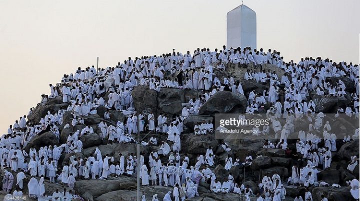
Arafat – Boundary towards Taif
The next boundary of Makkah Haram is Arafat which is one the road to Taif. This boundary is at bottom of Masjid-e-Nimrah and is seven miles away from Makkah.
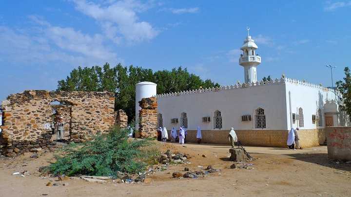
Hudaybiyah – Boundary towards Jeddah
On the road to Jeddah, the boundary of Haram is Munqati‘al-A‘shaash, which rests 10 miles or 16 km from Makkah.
Munqata‘ al-A‘shaash, which is at the end of al-Hudaybiyah. Hudaybiyah is part of the Haram. This the place where the Treaty of Hudaybiyah took place. Moreover, pilgrims living or staying in Makkah come to this place to wear Ihram.
How to locate the boundaries?
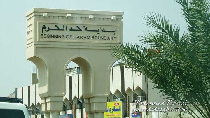
Today, locating the boundaries of Haram is not a task anymore as the Saudi Authorities have set up clear marks of these boundaries.
As a result, one can see these marks in form of edges like minarets. The name of the boundary is written in Arabic and some other widely known languages of the Kingdom.
For the latest updates, you can join our ✅WhatsApp group or ☑️ Telegram Channel.


